Rosewood Heritage Project Data Warehouse
This page provides access to various project data. This includes census records, oral histories, business directory entries, maps, weather data, and various documents. This page will provide a clearinghouse for this information allowing other researchers and the public at large to access much of the same material I have used over the past years to document the hisotry and developmnet of Rosewood. . It is my intention to provide as much raw material as legally and ethically allowed. Additionally, I will also include a complete list of credits for images and maps used around the website.
June 9, 2011 - 1993 Rosewood Oral Histories
A group of historians collected fourteen oral histories as part of the compensation bill which made its way through the Florida state legislature in 1993 and 1994. These oral histories remain a vital source of informaiton about Rosewood and the 1923 race riot. However, few people have had access to these oral histories because the transcriptions were only published in a limited number of volumes. A small number of these volumes exist in various libraries around Florida, until now.
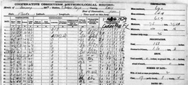
April 15, 2011 - 15 Years of Daily Weather Observations
Weather has profound effects on our everyday actions. Numerous survivors of Rosewood report how the winter of 1923 was one of the coldest on record. Was it? If so, does corraborating their story add to the tragedy. If not, does this evidence question the validity of survivor testimonies as told to researchers decades later? Or, can daily weather observations from nearby Cedar Key help explain the history of the riot itself?
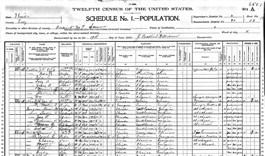
March 22, 2011 - Census Data
Census data provides important information about communities. This includes information about race and gender, home ownership, employment, education status, and composition of individual households. The above link provides complete transcriptions of the 1900, 1910, and 1920 census for Rosewood and surrounding areas. I have also included maps covering the enumeration districts for each of these years. Enumeration districts reference the geographic area recorded in each set of census forms.


